An air quality warning was issued Sunday for parts of B.C. including the Cariboo, Lakes District, North Coast, North Thompson, Stuart-Nechako and Williston.
These areas will be impacted or are likely to be impacted by wildfire smoke over the next 24-48 hours.
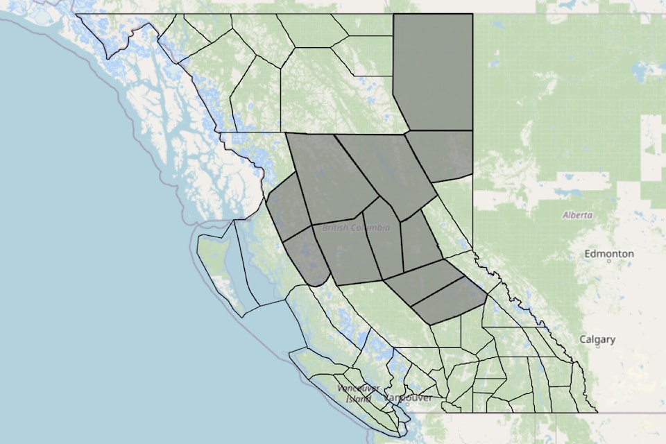
Smoke may be visible across the northeast and central regions of the province.
During a wildfire, smoke conditions can change quickly over short distances and can vary considerably hour-by-hour.
Monitor the situation for any wildfires near your area at . Follow all emergency announcements relevant to your location.
The next update will be available on June 23, 2025 and made available on the Province鈥檚 .
The advisory is issued in collaboration with the province of B.C., First Nations Health Authority, Northern Health Authority and Interior Health Authority.
A full list of imapcted communities includes:
- B.C. North Peace River: includes the City of Fort St John and all communities along Hwy 97 extending from Farmington to Pink Mountain; Hwy 29 including Moberly Lake, Hudson鈥檚 Hope; also includes Rolla, Clayhurst and Goodlow.
- Bulkley Valley: includes Hazelton, Smithers, Telkwa, and Granisle.
- Cariboo (North): includes Quesnel, Wells and Bowron Lake Park.
- Cariboo (South): includes Williams Lake, Northern and Central sections of Wells Gray Park.
- Fort Nelson: includes Fort Nelson, Muskwa, Prophet River, Buckinghorse River, Sikanni Chief, and Hwy 77 north to the Yukon border.
- Lakes District: includes Houston, Topley, Burns Lake, and Endako.
- North Coast - Inland Sections: includes Kitimat.
- North Coast Inland (South): includes Terrace.
- Prince George: includes the City of Prince George, Hwy 16 Bednesti to Upper Fraser, and Hwy 97 Hixon to the south end of McLeod Lake.
- Stuart - Nechako: includes Fraser Lake, Fort Fraser, Vanderhoof, Fort St James, and Tachie.
- Williston: includes McLeod Lake, Mackenzie and Williston Lake.


